Finding your way around the canal map
Beyond planning and navigating, the map is full of things to help you on the cut.
-
1
Search for anything
Find a place, postcode, marina or ///what3words address from the search box – handy for jumping straight to where you’re headed.
Open the map →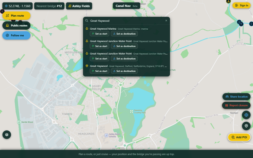
Search for anything -
2
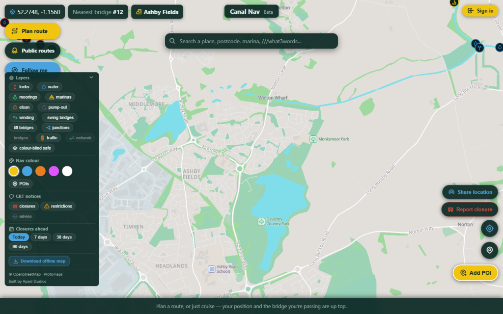
Switch on the layers you need
Tap the layers button (bottom-left) to show moorings, water points, services and boater-reported hazards – or the whole UK canal network.
Switch on the layers you need -
3
Community points
Long-press the map to add a mooring, water point, hazard or point of interest. Other boaters confirm them, so the map stays trustworthy – tap any point to read its details and notes.
-
4
Share your location
Drop a pin to show family where you are, or share a live position while you cruise – password-protected, with time windows you control.
-
5
It works offline
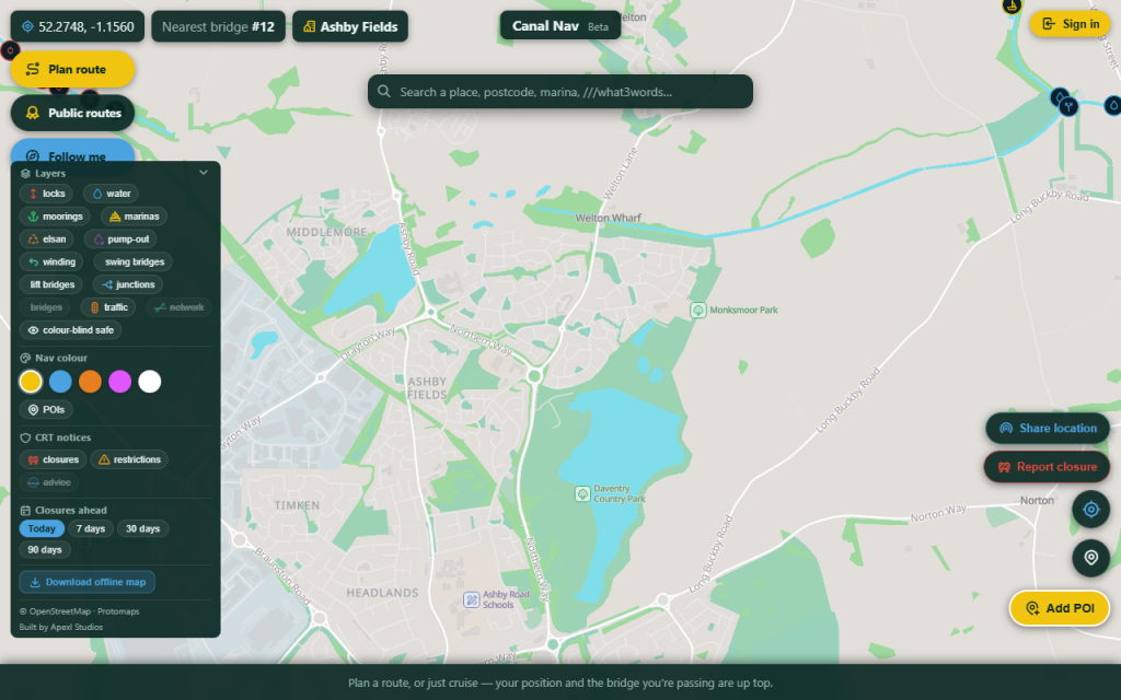
Cache the map and your route before you lose signal, so navigation keeps working through the cuttings and tunnels.
It works offline