Navigating & closures
Once you’ve planned a route, Canal Nav guides you along it – and keeps an eye on the water ahead.
-
1
Start, or simulate first
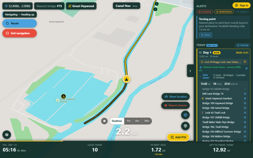
Tap Start to follow your route with GPS – your boat icon leads the way. New to it? Tap Simulate to watch the whole trip play through before you set off.
Start, or simulate first -
2
Live readouts as you cruise
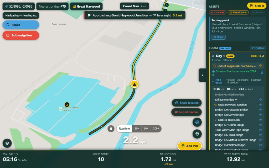
You get a live speed readout (tap to switch between mph and knots) and a heads-up for every lock, flight, swing or lift bridge, tunnel and junction as you reach it.
Live readouts as you cruise -
3
Closures ahead
Canal Nav keeps checking the water in front of you – on the canals and the rivers alike. If a new closure appears (from the Canal & River Trust or a river authority), it flags it and offers to reroute – and for a closure with a reopening date, it weighs waiting it out against the detour.
-
4
Moor here for the night
Stop for a while and Canal Nav notices – it offers to moor here for the night and re-plans the rest of the trip from where you actually tied up.
-
5
Your trip, in the logbook
Finish a trip and it’s saved to your boat’s logbook – distance, locks, lock-miles, time on the move and where you moored.
See your logbook in the dashboard →